
Read our stories
Asi Keyi Territorial Park
Asi Keyi Natural Environment Park is homeland of the Kluane First Nation and the White River First Nation peoples. Today, this homeland remains an important place for Kluane citizens and White River citizens for hunting, trapping, and trails.
Zheh Gwatsàl (LaPierre House) and Gindèhchik (Rampart House) Historic Sites
The historic sites of Gindèhchik (Rampart House) and Zheh Gwatsàl (LaPierre House), are an important part of Gwich’in culture and history and are recognized in the Vuntut Gwitchin Final Agreement.
Ch’ëdä Dëk (Forty Mile, Fort Constantine and Fort Cudahy) Historic Site
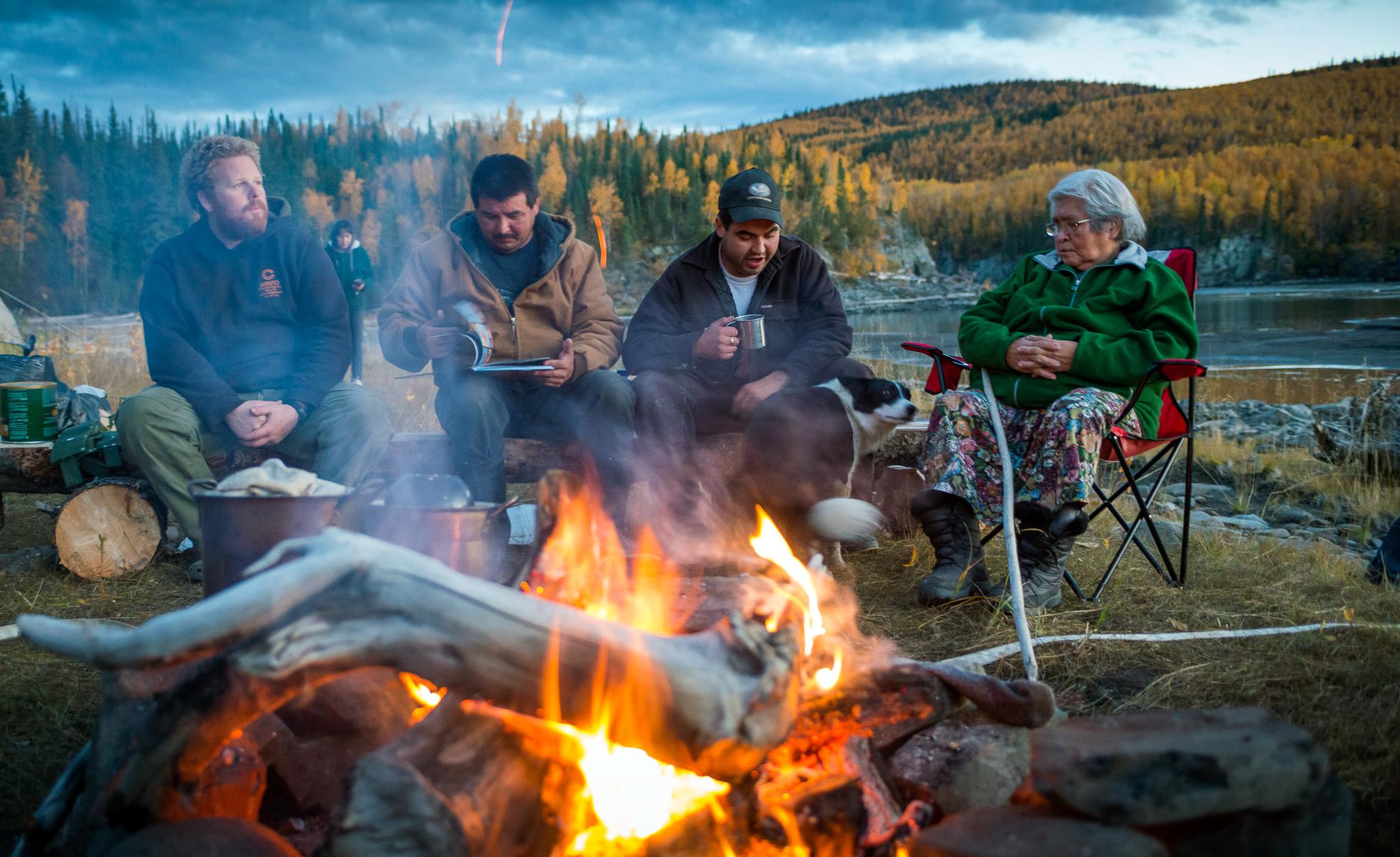
Generations of Hän people have camped here at the mouth of the Fortymile River to harvest the Fortymile caribou herd and fish for grayling in the area.
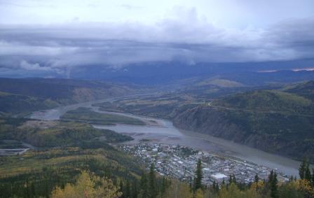
Tr’ochëk Historic Site
Visit Tr’ochëk Heritage Site, a vibrant Hän fish camp located at the confluence of the Klondike and Yukon rivers and learn about the key role it played in the survival of the Tr’ondëk people. This site was recognized as a Heritage Site in the Nation’s Final Agreement.
Tsâwnjik Chu (Nordenskiold) Habitat Protection Area
Along the Nordenskiold River, south of Carmacks and west of the Klondike Highway, lies the Tsâwnjik Chu Habitat Protection Area. Tsâwnjik Chu has been home to river, wetland, and wildlife, including beaver, marten, muskrat, wolf, wolverine, red fox, coyote, mink and weasel. This 77.4 km2 area is protected today thanks to the Little Salmon/Carmacks First Nation’s Final Agreement.
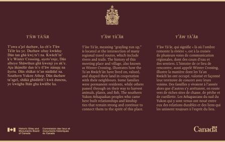
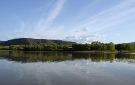
T'äw Tà'är National Historic Site
T'äw Tà'är stands at the meeting place of network of travel routes made up of waterways and trails. The Ta’an Kwäch’än historically lived on or traveled through this site to harvest animals, plants, and fish, and to foster their social and community networks.
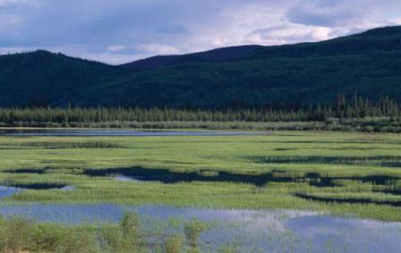
Łútsäw Wetland Habitat Protection Area
Just 8km southwest of Pelly Crossing lies Łútsäw Wetland. This protected wetland area can be seen alongside the North Klondike Highway in the Selkirk First Nation.
Agay Mene Territorial Park
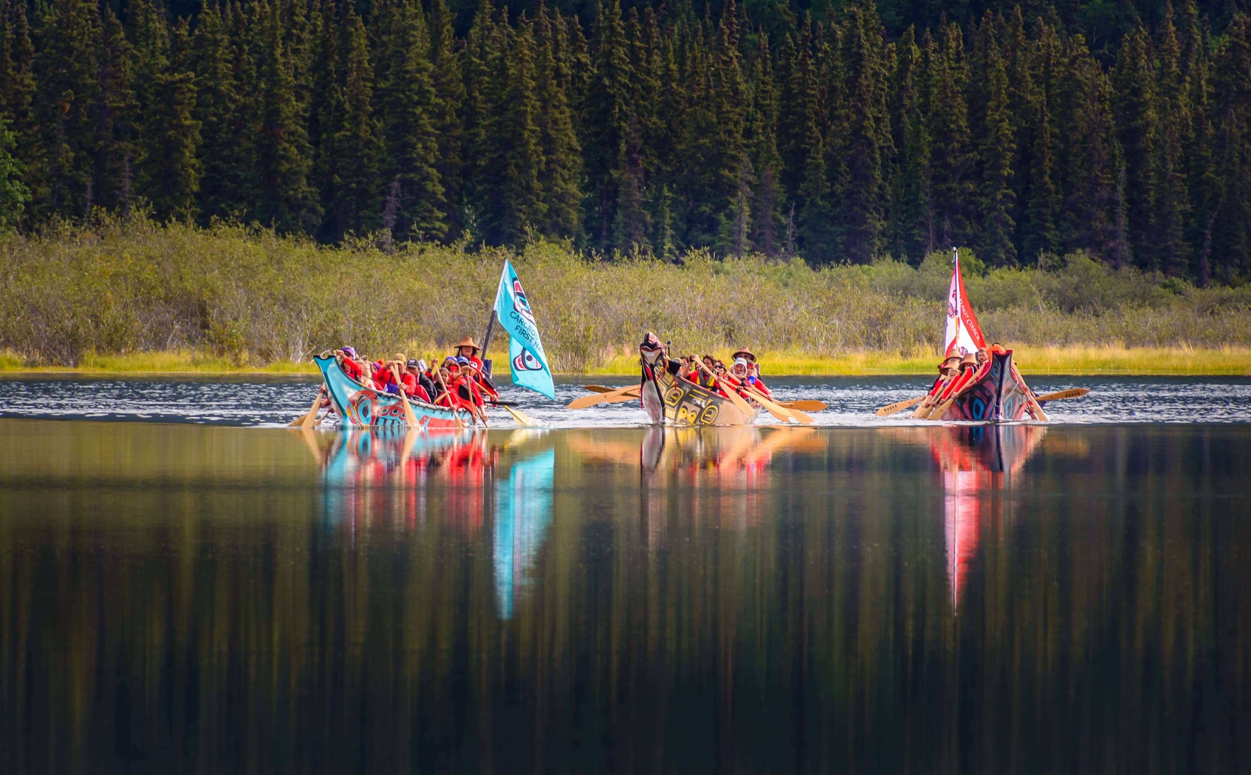
We’re passing the phone to a park that’s home to over 40 mammal species, Bald Eagles, Osprey, and Loons, and the wood frog. That’s right – it’s Agay Mene Territorial Park on the Carcross/Tagish First Nation! Starting at Jake’s Corner, the 697 km² landscape stretches all the way to the BC-Yukon border.
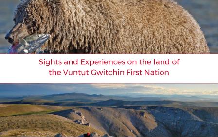
Vuntut Gwitchin First Nation Points of Interest
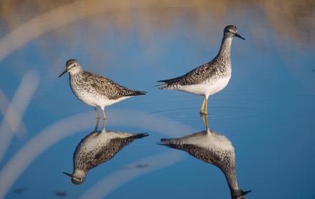
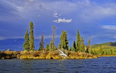
Today, Old Crow is the home community for the Vuntut Gwitchin – People of the Lakes. While the only way to get there is by plane, it’s worth the short flight to experience this place of beautiful culture, people, and land. With the help of Indigenous Yukon, we’ve put together a list of things to do and see for an unforgettable visit to the north-most community in the Yukon.