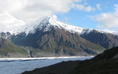
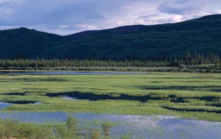
Łútsäw Wetland Habitat Protection Area

Just 8km southwest of Pelly Crossing lies Łútsäw Wetland. This protected wetland area can be seen alongside the North Klondike Highway.
While the wetland is relatively small at just 15km long and 2.5km at its greatest width, it is a place of great ecological and historical significance.
18 archaeological sites and numerous historic sites lie within the area. And archaeological evidence suggests that the area has been used for the last 5,000 to 8,000 years to sustain the people of the area through fishing and wildlife harvesting.
Excavation at one site at Rock Island Lake points to Selkirk First Nation people hunting spring waterfowl here for more than 5,000 years.
The Łútsäw Wetland was established as a Habitat Protection Area in the Selkirk First Nation’s Final Agreement. The area is co-managed by the Selkirk First Nation and the Government of Yukon to ensure the sustainable conservation of fish and wildlife habitat and protect the full diversity of wildlife populations and their habitats.