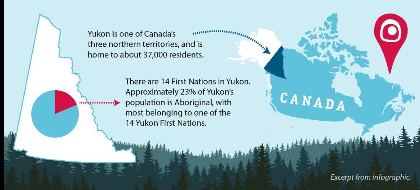
Infographic on Yukon's history of land claims and self-government

Mapping the Way has an infographic that is a visual representation of the history and content of Yukon First Nations land claim and self-government agreements. The infographic is available in various formats for use at meetings, conferences, courses or displays.
Contact us to borrow the display version or to order copies to use as handouts.
Poster and handout versions:
Printed posters are available on request or you can print in-house on the correct sized paper using a colour printer.
Details:
- small poster - size: 5” x 18” for use as a handout.
- large laminated poster - size: large 11” x 36” for use on display.
- handout 3-pages - size: letter 8.5” x 11” for use as a handout.
Toggle the "FR" in the top-right hand corner of this page to view French versions of the infographic.
Sélectionnez le lien "FR" au menu dans le coin droit de cette page pour consulter la version française de l'infographie.
Online version:
View a timeline of Yukon First Nations’ journey towards land claims and self-government agreements.
Details:
- content is the similar to the infographic but presented differently.
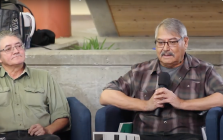
- includes photos and a video.
Popup banner version:
You can put a larger version of the infographic up on display.
A vertical popup banner of the infographic is available for short term loans. Contact us to borrow.
Details:
- size: 3-foot popup in carrying case;
- must be displayed indoors or sheltered from the elements; and
- is available in English and in French.


